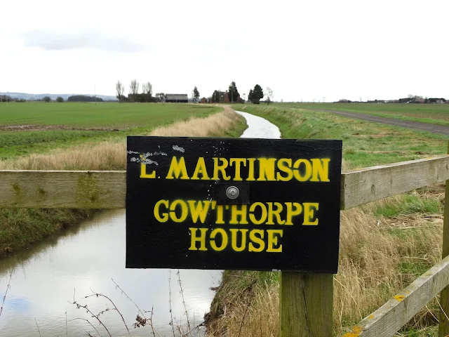
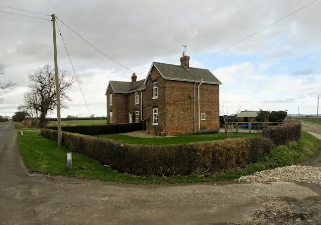
I set off far too early for the football match over in Hull. This was because I wanted to bag more photo squares for the Geograph project. It required a diversion south of the village of Gilberdyke and north of the northern shore of The River Humber. It's flat agricultural land over there and though dry the morning was quite grey.
Above you can see Staddlethorpre Broad Lane which connects Gilberdyke with the riverside village of Blacktoft. Staddlethorpe itself is more of a district than a village. There are a few scattered farms. Whenever we see "thorpe" at the end of place name, it indicates a Viking settlement. However, I am not sure if the prefix "Staddle" had its origins in a Viking name as is the usual case. It may refer to an agricultural practice - drying food crops or reeds on raised wooden platforms or "straddles".
After travelling into the city from the "park and ride" facility at Hessle, I met Tony and Carl at the little Polish cafe by West Park before we walked down to the stadium. After five minutes, new acquisition Anass Zaroury cracked the ball against the crossbar but Jaden Philogene scored from the rebound. It was a coolly taken goal and indeed the only one in the entire match.
Meanwhile back home the score is now Puddings 2 Mice United 0 and the "Little Nipper" trap has been set for a third time. We won't be getting a cat as one or two visitors have suggested. We had two lovely cats that lived for years - Blizzard and Boris and their deaths broke my heart. I don't want to go there again.
Drain leading to Gowthorpe House Farm - off Staddlethorpe Broad Lane
from Yorkshire Pudding https://ift.tt/TiZvBsb


