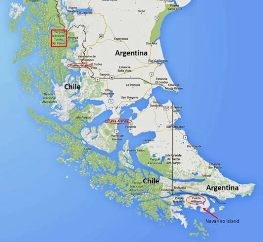
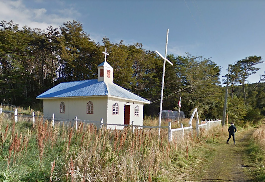
Google Streetview even got to Puerto Toro in 2015. Situated on the east coast of Navarino Island, Chile, it is the southernmost permanent settlement in the world. Okay there are a few research stations in Antarctica but these are not proper communities as their populations are forever changing with polar researchers and support staff always coming and going.
Puerto Toro is a little fishing port with a population of 36. It was established during the Tierra del Fuego Gold Rush of the 1890's but now it focuses upon the "centolla" or southern king crab. Like Longyearbyen, Puerto Toro's environment is defined as "tundra" with an average temperature of 2.7C throughout the year. However, unlike that desolate little town in Svalbard, there is a lot of greenery around Puerto Toro.
The Streetview photographer appears to have hiked around the place and in one of my chosen "snips" you can see his shadow with the camera rising from a backpack. It's funny how Streetview will sometimes throw up strange images like that one.
To be frank, there's not much to Puerto Toro. and there isn't even a road to connect the settlement with Port Williams - the largest settlement on Navarino Island. It seems like the end of the world and I suppose it is. I would love to go there but I guess that this blogpost is the closest I will ever get...
from Yorkshire Pudding https://ift.tt/brQ8WRZ


