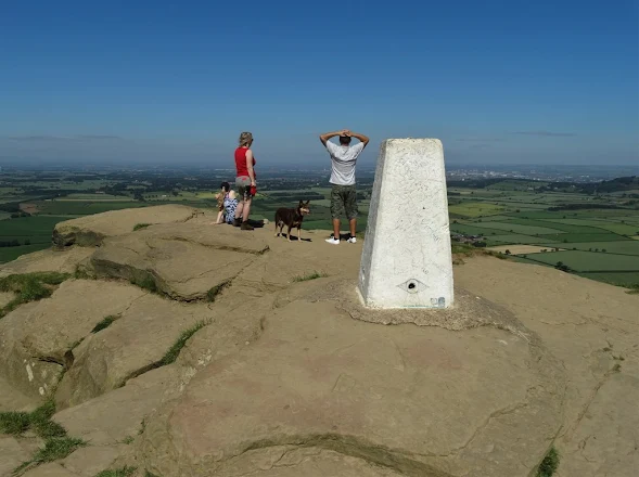
Roseberry Topping
There are more than 6500 of these pillars located throughout Great Britain - often in pretty inaccessible places. They were mostly erected in the 1930's and were vital to the process of accurate surveying. The iconic trig pillar was designed by Brigadier Martin Hotine in 1935. Hotine designed them to assist with triangulation - separating our country into a network of triangles, allowing precise mapping of the landscape.
In modern times, better surveying techniques have been developed - to such a point that the little pillars are now redundant. However, they still dot the country and appear in "Ordnance Survey" mapping. They are often a focus or indeed a diversion for walkers. People will frequently pause by them to lean and look around.
Bagging trig points is a passion for some country lovers and there are even websites devoted to this hobby. Every pillar has its own unique reference information usually shown on a metal flush bracket secured to the base of the trig point.
Over the years, I have visited dozens of triangulation pillars - not because I am a crazy trig point enthusiast but just because they happened to be on or close to my walking route. Some pillars sit in very prominent positions while others are hidden away in hedgerows.
Accompanying this blogpost, I have picked five of my images of triangulation pillars to share with you.
from Yorkshire Pudding https://ift.tt/2liRcDG


