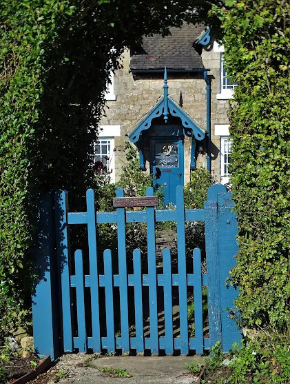
Track to Scarcliffe Grange
You don't have to be mad to blog here but it helps!
As a member of the Geograph project I have a personal map that I call my red blob. Over the past twelve years my red blob has grown with every image I have captured in a different 1km square. Now I have collected 6402 different squares and submitted 15812 photographs in total. Below you can see just a section of my coverage map. As you will see, at the edges of the red blob it all becomes rather raggedy.
Yesterday, I set out with my faithful companion Tonto Clint to target seven squares I had not yet secured. Often such squares are in awkward locations. Perhaps there's no public footpath or no road or maybe I just missed them on earlier visits to that area. Before setting out I had some map study and pre-planning to do.
Signal box at Elmton and Creswell Junction
It was a lovely day and, with Clint's kind assistance, I managed to accomplish my vital mission. Before heading home, I called into the former mining village of Creswell where I purchased a late lunch - a portion of golden chips (American: fries) and a battered sausage with a can of Diet Coke from "Trawler's Catch" on Elmton Road. It was naughty nourishing and well, nice.
The accompanying pictures were all taken yesterday.
Elm Tree Cottage, Elmton
Above Whaley Hall Farm
from Yorkshire Pudding https://ift.tt/3Ge0EmP


